Deception in the skies: Russian drones tricking Ukrainian forces
The war in Ukraine requires both sides to use tactics that could even slightly increase their advantage in battles. One of these tactics, not seen on the front before, is an attempt by the Russians to deceive Ukrainians by using particular inscriptions on drones.
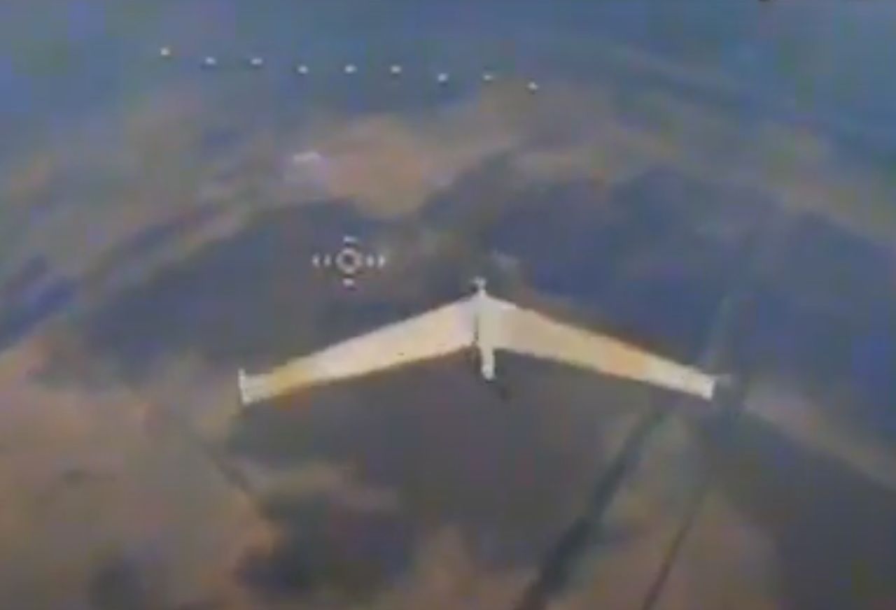


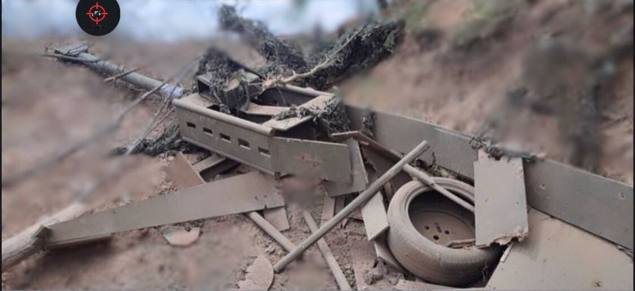
"Don't touch me, guys. I'm on your side" – this inscription is visible on one of the Russian Zala 421-16E reconnaissance drones, a photo of which Ukrainians have shared online. This is the first time in the history of the war in Ukraine that such an image has circulated on social media.
The most probable explanation for what the Russians want to achieve with this tactic is an attempt to mislead Ukrainians into thinking the drone belongs to allied defender forces.
Internet users commenting on the photo of the Zala drone with special inscriptions also suspect that the Russian Federation might not just be trying to deceive Ukrainians this way but is also protecting itself from so-called friendly fire from its own army. It is no secret that in Russia, the mentioned "friendly fire" often destroys valuable Russian machines.
The drone visible in the Ukrainians' photo is an important tool for the Russian Federation's forces. This is not a typical kamikaze-type unmanned aerial vehicle, whose role is to identify a target and then strike it. The Zala 421-16E is a reconnaissance drone that can stay aloft for several hours and conduct surveillance from altitudes of up to 3,505 metres, providing high-resolution images during this time.
The Zala 421-16E was created in response to the need for the Russian Federation to have equipment with reduced detectability and capable of conducting high-altitude surveillance. On the fuselage of this drone is a digital SLR camera with a resolution of at least 18 megapixels. Thanks to this, the drone transmits Full HD images to allies with up to 20x zoom. It also includes a gyroscope for image stabilization and a thermal imaging camera.
Powering this device is an electric motor that allows this 10-kilogram construction to rise to altitudes of up to 3,505 metres. At this altitude, the drone can conduct reconnaissance for four hours, moving at a speed of 113 kilometres per hour. Its range slightly exceeds 200 kilometres, while its operational radius reaches 45 kilometres. Precise location determination is handled by GPS/GLONASS navigation working in cooperation with a three-axis magnetometer.